2021
04/07/2021
|
Avalanche Summary
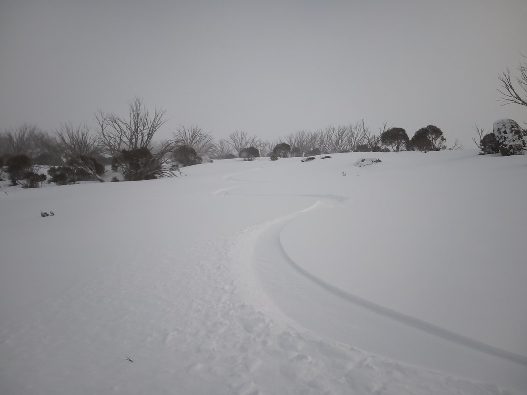
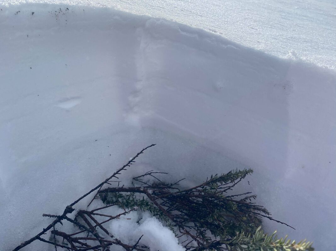
No recent activity. Snowpack Summary Moderate on Saturday night has resulted wind loading on slopes to Lee to the NW. Testing of the new snow bonding showed no results to the rain crust from last week’s rain events. We saw 25cm of new loading on lee slopes. Yesterday’s observations saw a 1cm rain crust which was widespread throughout the backcountry. Keep in mind that the new snow has landed on this rain crust and there may be easily triggered wind slab on steeper slopes. Testing of the snowpack gave the below results
|
02/07/2021
Avalanche Summary
No recent activity
Snowpack Summary
With warm temps and rain throughout the week there is 1cm rain crust on the surface.
Below this rain crust is a low density layer of melt form crystals which allows easy breakthrough of the crust .
This crust when skiing on it made fort very challenging conditions today
Snow is predicted for Saturday and fingers crossed it starts midday so that it has the best chance of bonding to the existing rain crust .
With the moderate to strong winds forecast we will see wind loading on slopes lee to the NW.
Freeze levels look to trends to 1000m seeing above and below tree line getting dry snow.
We should see more snow over the next 24hrs with snow forecast over the weekend.
27/06/2021
Avalanche Summary
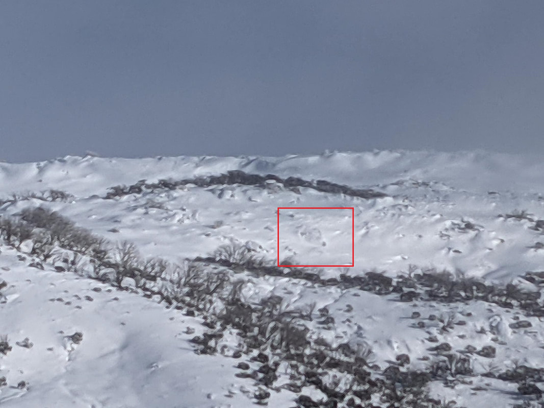
Size 1 Wet Slab Gills Knob
Snowpack Summary
Moderate to strong winds on Saturday night has resulted in what snow was available for transport pushed to Lee to the SW slopes.
Testing showed good bonding of the new snow a the wet surface since Friday midday.
The lower slopes in the backcountry are becoming wet by lunch time, but the upper altitudes will remain dryer.
Try and head out early to avoid the wet sticky snow down low or stay up high during the day.
Testing of the snowpack gave the below results
- CTH 21 BRK @ 20cm on melt freeze crust.
- No Hand shear results.
- Height of snowpack 40cm.
13/06/2021
Avalanche Summary
No recent activity
Snowpack Summary
The snowpack has rain effected surface on elevations up to 1900m.
The snowpack has settled and now has a HS of 38cm.
There was a layer of buried surface hoar present @13cm, and we got moderate collapse results on this layer.
By early afternoon, the sun affected top layer became very wet and was very sticky to ski on.
No signs of obvious instabilities, and all should be wary of the very thin cover out there currently.
Weather Forecast
Warmer weather from Friday till mid next week will see this storm snow consolidate and hopefully form the base for the upcoming season.
11/06/2021
|
Avalanche Summary
No recent activity Snowpack Summary The new snow storm that arrived midday on 9/06/21 has delivered up to 65cm of new snow. This new snow has mainly fallen on the non snow covered surface in the backcountry. The snow that was still persisting from the previous snow storm at higher altitudes would have been very firm when this new storm layer fell on it. There is a chance that at these higher altitudes there may be bonding issues with the new snow. Be aware of the potential failure at this interface and stay off steep terrain in the warmer times of the day. |


