|
THURSDAY
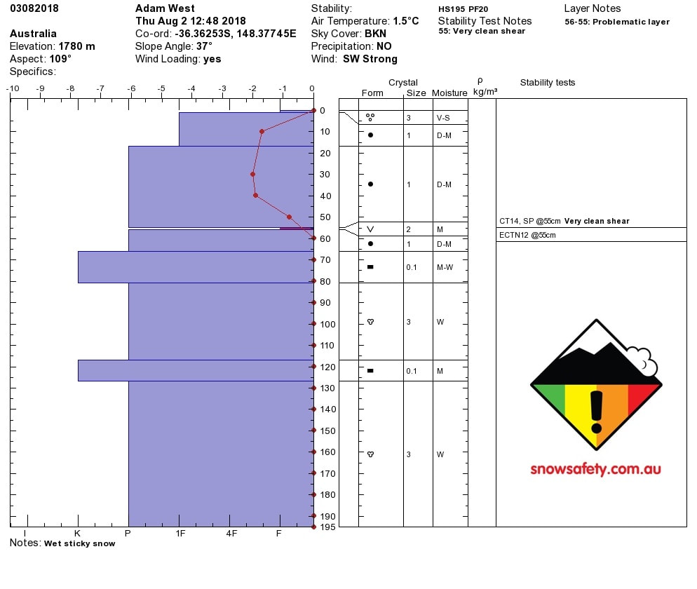
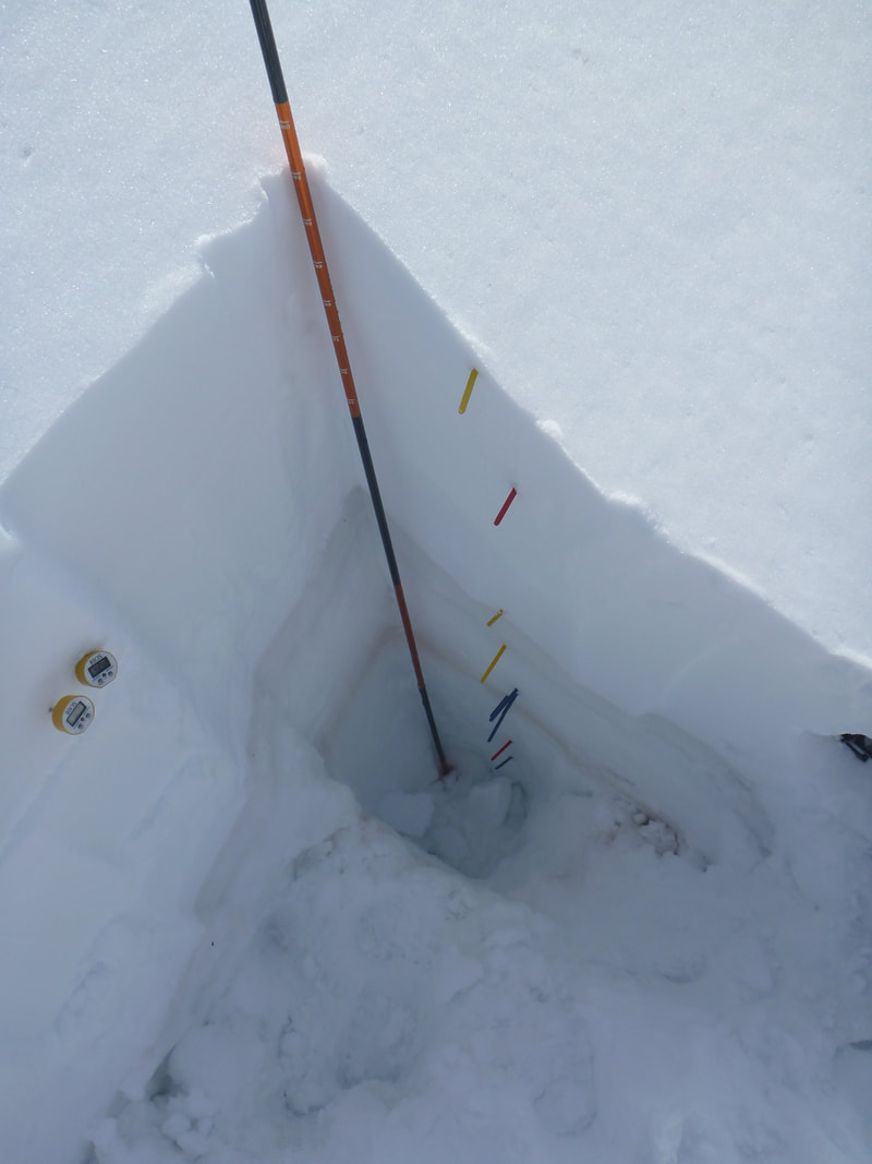
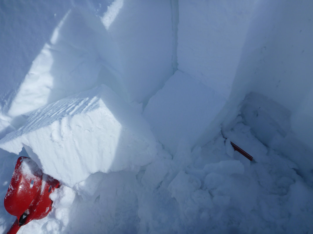
Temperatures have fallen overnight and there was a large frost this morning. Winds have shifted from SE to SW and have increased. This is the beginning for the new front that will drop an estimated 30cm of precipitation over the weekend starting Friday. The top layer of the snowpack is wet, but the layers from the past week have bonded well. FRIDAY There is a strong temperature gradient in the top 60cm of the snow pack which wasn't there on Sunday. There is a persistent weak layer @55cm that is gives moderate sudden planner results. ETC didn't propagate as expected but there was a partial break on the same problematic layer at 55cm. If on steeper lee slopes this weekend remember that that layer may slide and it will be a slab about 50-60cm in size. OUTLOOK: There's some big winds and then more snow, following tomorrows mini blizzard that will see the accumulation for 48hrs hit 30cm. Yellow flags... Temps are low, the freezing level is low thanks to a big bump from the south. Weekend snow play will be fun with more new snow landing. As per normal the wind will play a huge role in where the decent skiing / boarding will take place so pick you lee slopes and have fun.
0 Comments
Leave a Reply. |
Archives
March 2022
AuthorSnow Safety Australia is a NSW based information website. Categories |
Training Courses |
Company |
|


 RSS Feed